Solutions
that go beyond the map
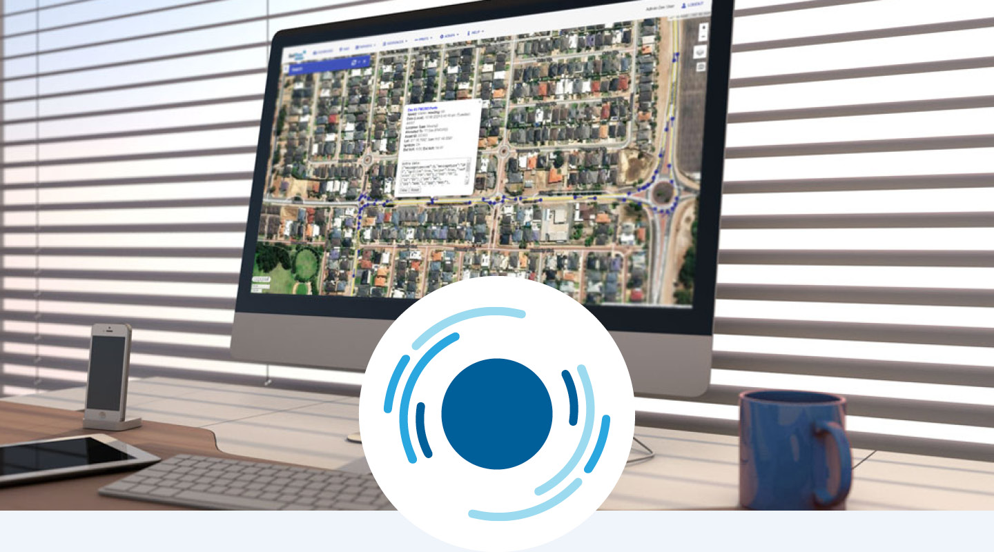
SatTrax
SatTrax is Touchtech Australia’s core platform for managing vehicle, asset and sensor data across urban, remote and marine environments. It brings all data into a single dashboard to support real-time visibility, integration and operational control.
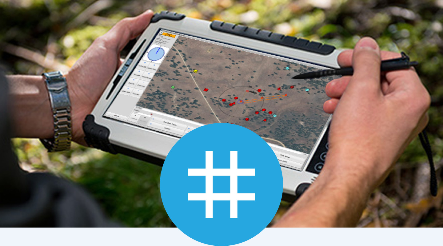
GridTrax
GridTrax is a field data capture and mapping tool for recording and monitoring project activity. It supports a range of applications including environmental projects, surveying, maintenance and field operations.
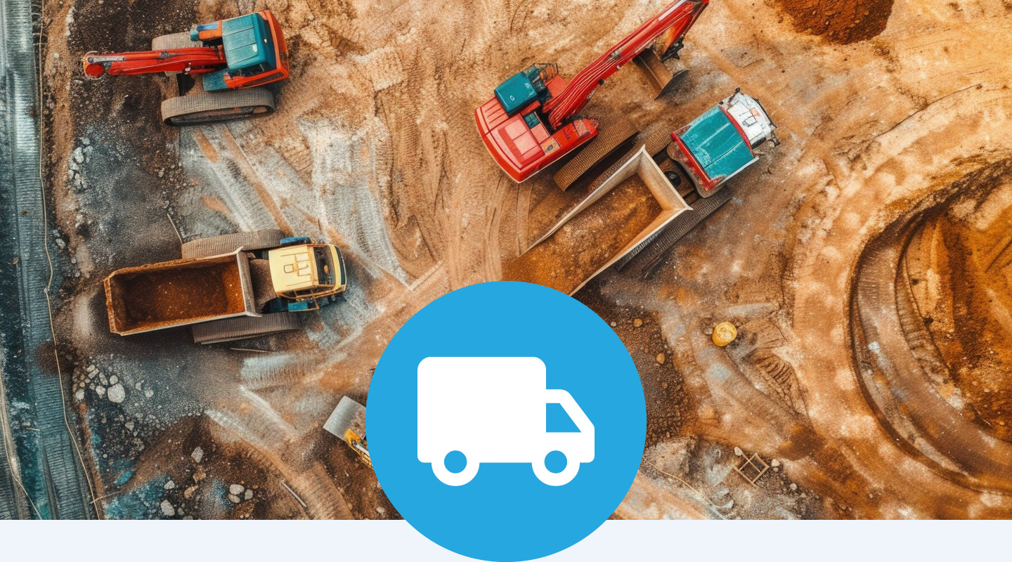
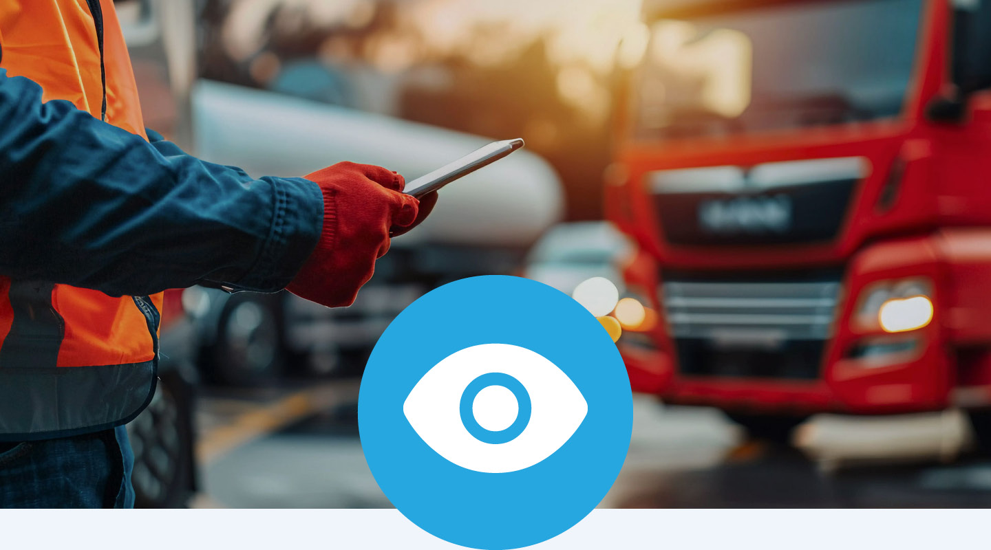
GPS Fleet & Asset Tracking
Track the location, status and usage of vehicles and assets in near real time. Monitor location, usage, and performance, helping you enhance security, streamline operations, and ensure assets are where they are needed most.
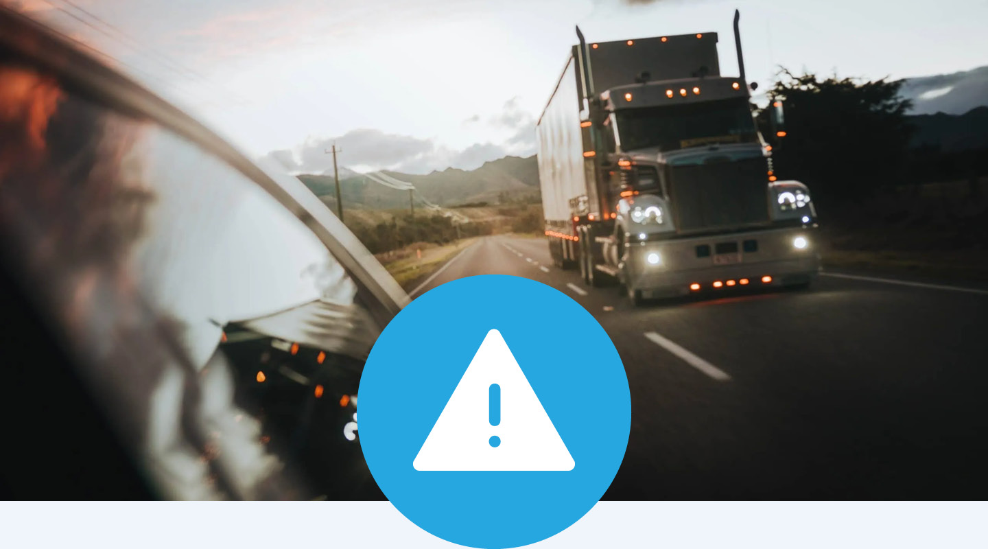
In-Vehicle Monitoring System
Monitor driver behaviour and vehicle activity through our integrated in-vehicle system (IVMS). Support safer operations with real-time data, alerts and configurable controls such as geofencing to enhance vehicular safety awareness, and operational efficiency.
Fatigue Management
Monitor driver fatigue using video-based assessment, hours tracking and custom alert systems. Identify risks early, monitor driver well-being, and support safer driving through timely notifications and reporting.
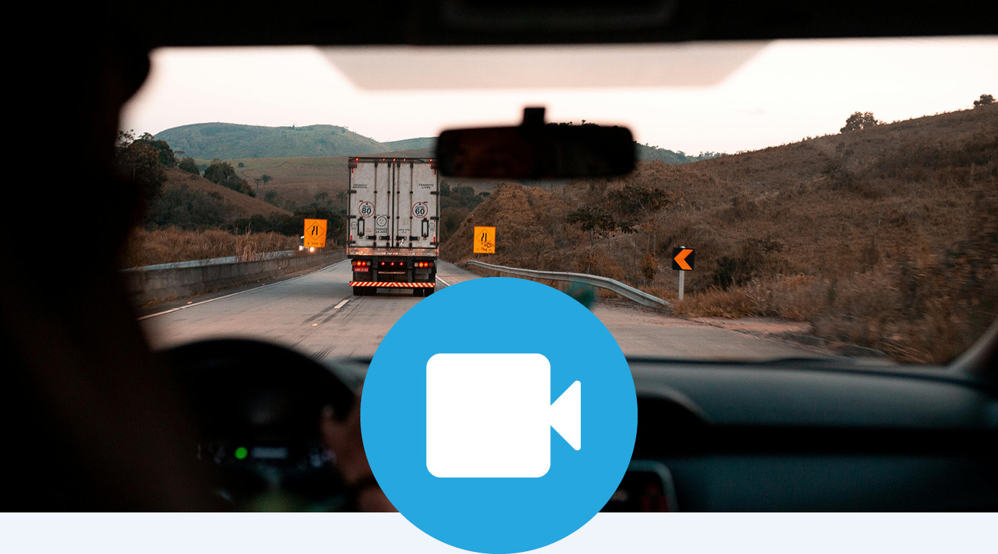
Video Telematics
Combine GPS data with near real-time, high-definition in-cab and external video capture for a complete view of vehicle activity. Enable incident review, driver feedback and improved safety outcomes.
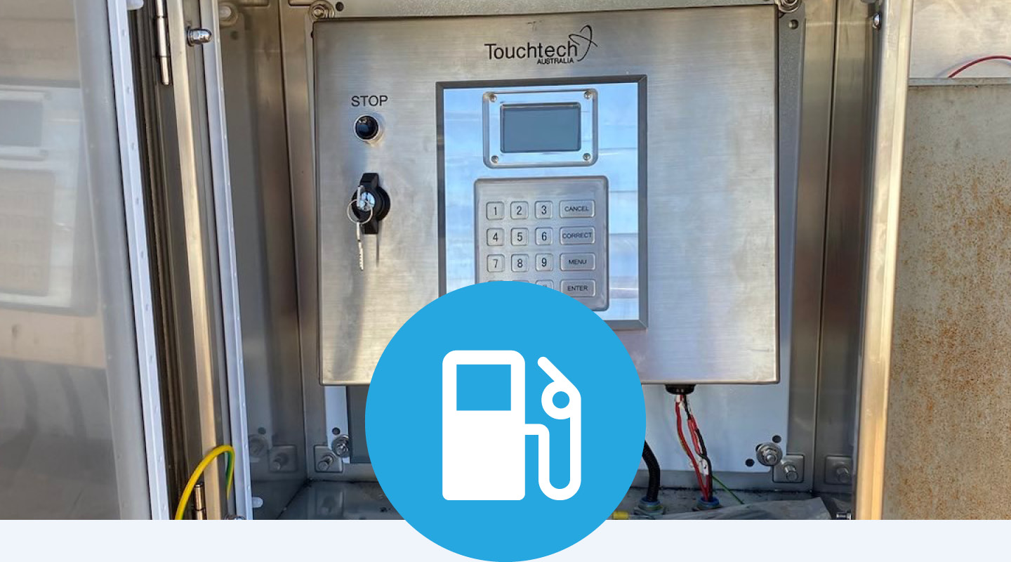
Fuel Management System
Track and control fuel usage across fixed sites and mobile assets. Improve accuracy, reduce loss and maintain visibility over fuel consumption and allocation.
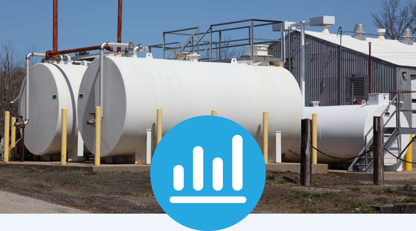
Tank Level Monitoring
Monitor fuel, water, or oil levels in near-real time. Support efficiency in refueling, prevent losses, reduce shortages and plan deliveries across sites.
Remote Sensor Monitoring
Capture and monitor data from sensors across remote or distributed environments. Track conditions such as fluid levels, temperature, movement, vibration or access to support faster response and planning.
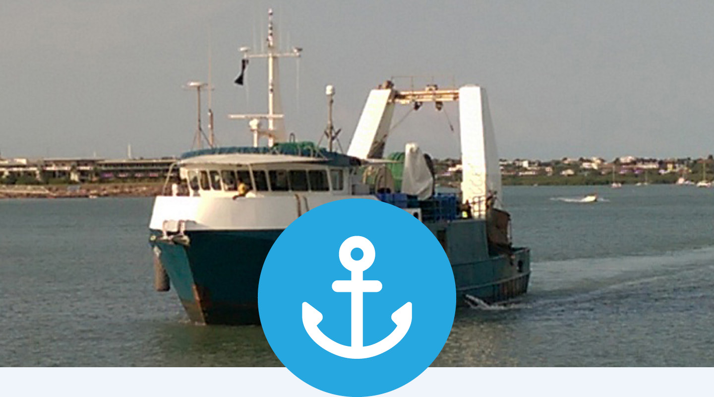
Vessel Monitoring System
Track vessel or fleet location, movement and performance in near real time. Maintain visibility across marine operations to support safety and operational efficiency.
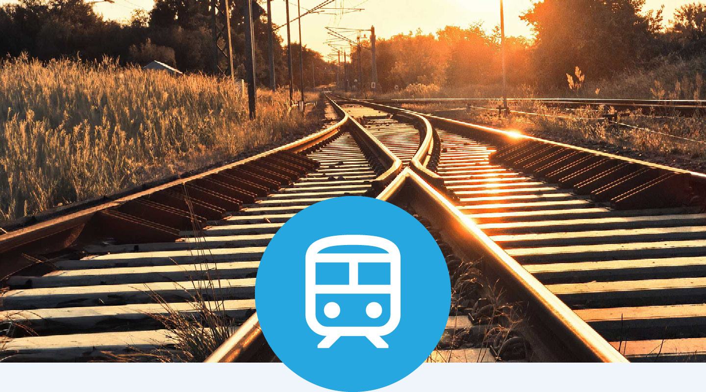
RailTrack
RailTrack is a GPS-based system for recording and mapping faults across rail networks. Use accurate location data and GIS integration to support maintenance and fault management.
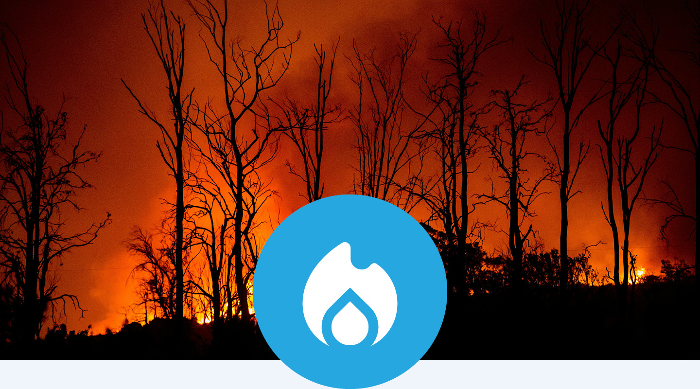
FireTrack
FireTrack provides live aerial tracking of fire activity from aircraft. Deliver up-to-date information to ground crews to support informed decision-making.
Lane Guidance
Provide lane guidance for haul trucks and heavy plant at any location, including remote areas. Assist operators in maintaining positioning and reducing drift- or driver fatigue related incidents.
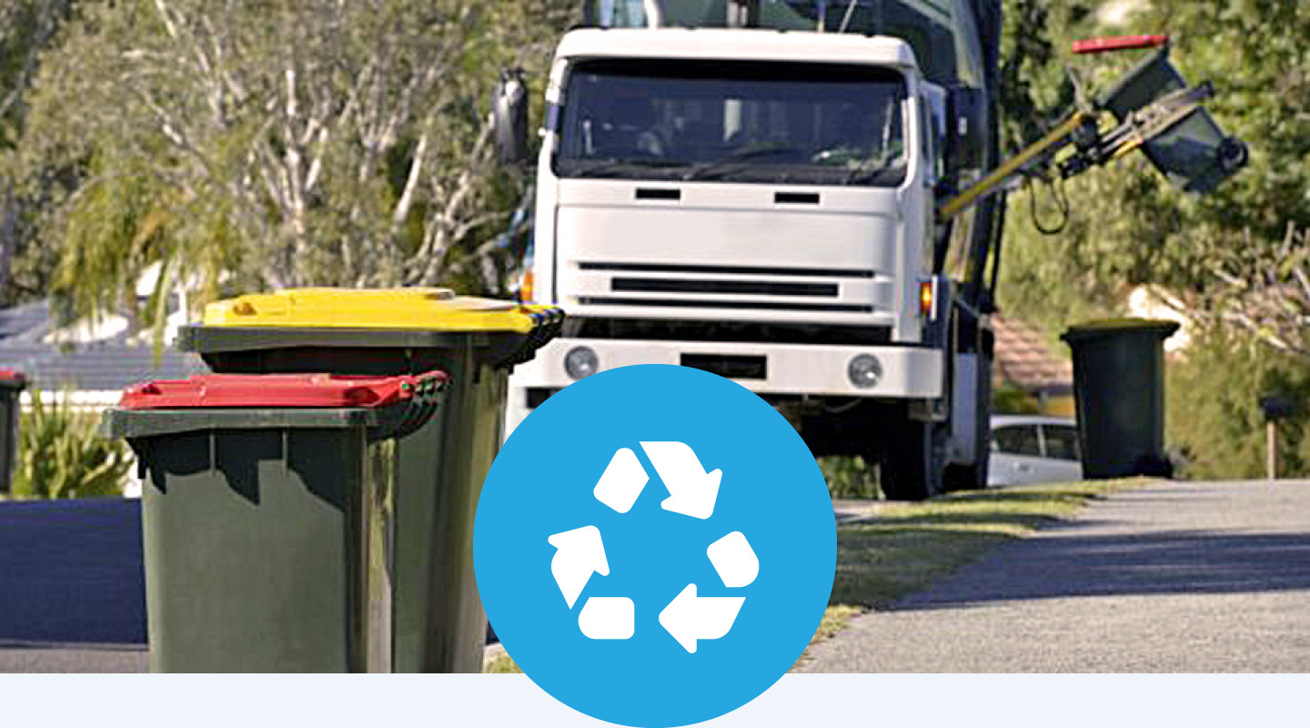
Waste & Asset Tracking
Track waste collection activity, including bin lifts, routes and driver inputs via a dash mounted touch screen. Support operational visibility and reporting across waste and asset management workflows.
